


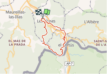

9,4 km | 12,8 km-effort


Gebruiker


Gratisgps-wandelapplicatie
 SityTrail
IGN / Geografische instituten
SityTrail World
De wereld gaat voor u open
Tocht Stappen van 14,4 km beschikbaar op Occitanië, Pyrénées-Orientales, Les Cluses. Deze tocht wordt voorgesteld door jeff66.
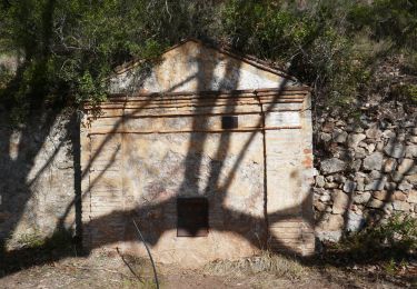
LES CLUSES - LE PERTHUS - fort de Bellegarde - col de Panissars - ruines romaines - Château des Maures

Stappen

Stappen

Stappen

Stappen

Stappen
Stappen
Stappen
Stappen
Stappen